Cyprus Nature Trails

Visit Cyprus summarises 31 nature trails and rates each from 1 (easy, suitable for all ages and fitness levels) to 3 (high difficulty, for adults with very good to excellent fitness and unsuitable for young children). The easiest are mostly at Cape Greco and in the Troodos forest. Avakas Gorge is listed as temporarily closed.

Best for
Walkers comparing trails by length, time and official difficulty, and families looking for easy routes.
How much time
Most trails take between half an hour and a few hours; check each trail's time.
In this guide
  1. What the difficulty ratings mean
  2. The easiest trails (rating 1)
  3. Akamas (Paphos district)
  4. Ezousa Valley (Paphos district)
  5. Cape Greco National Forest Park (Famagusta district)
  6. Troodos Forest
  7. Limassol Forest
  8. Machairas Forest
  9. Adelfoi Forest
  10. Planning around the numbers

Visit Cyprus says 52 walking trails have been designated across the island and publishes summaries of 31 of them, with a downloadable brochure that adds maps and hiking tips. This page lists all 31 in one place, grouped by forest or area, using the length, estimated time and difficulty rating on each trail's official page. For help choosing between the best-known routes, see best hikes in Cyprus.

What the difficulty ratings mean

  • Rating 1: an easy trail with a gentle gradient, suitable for all ages and fitness levels, according to Visit Cyprus.
  • Rating 2: an average degree of difficulty, suitable for adults with fair to good fitness, with sudden changes in gradient or narrow or rough terrain.
  • Rating 3: a high degree of difficulty, over difficult terrain, suitable for adults with very good to excellent fitness and unsuitable for young children.
  • Ranges and notes: some trails carry a range or a short note, such as a steep downhill, which we give as the official page words it.
The easiest trails (rating 1)

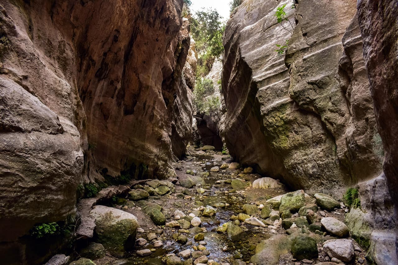
Trails rated 1 on their official pages: Aphrodite (Cape Greco), Artemis, Kavos, Konnoi – Agioi Anargyroi, Konnoi – Cyclops Cave, Livadi, Persephone, Sea Caves – Agioi Anargyroi, Trooditissa – Foini. Avakas Gorge is rated 1 to 2 but is listed as temporarily closed, so check its page before you plan around it.

Akamas (Paphos district)

TrailShapeLengthTimeDifficulty rating
AdonisCircular7.5 km3–4 hours3
Aphrodite (Akamas)Circular7.5 km3–4 hours3
Avakas Gorge (temporarily closed)Linear1.2 km45 minutes1–2
PissouromouttiCircular3 km2 hours2 (upward and downward gradients around the hill)

Ezousa Valley (Paphos district)

TrailShapeLengthTimeDifficulty rating
Ezousa walking trailCircular7.6 km3 hours2 (downhill and uphill gradient around Ezousa Valley)

Cape Greco National Forest Park (Famagusta district)

TrailShapeLengthTimeDifficulty rating
Aphrodite (Cape Greco)Circular2 km1 hour1
KavosCircular1.2 km45 minutes1
Konnoi – Agioi AnargyroiCircular4.8 km2 hours1
Konnoi – Cyclops CaveCircular1.7 km45 minutes1
Sea Caves – Agioi AnargyroiLinear4 km1.5 hours1

Troodos Forest

TrailShapeLengthTimeDifficulty rating
ArtemisCircular7 km2.5–3 hours1
AtalantiCircular14 km4–5 hours2
ChrysovrysiLinear1.5 km1 hour2
Fragma (Dam) Prodromou – StavrouliaLinear(a) 4.5 km / (b) 5.5 km1.5–2 hours3 (very sudden downhill)
Kalidonia (Caledonia)Linear3 km1.5 hours3
Kampos tou LivadiouCircular3 km1.5 hours1–2
Kannoures – Agios Nikolaos tis StegisLinear9 km (12 km until Kakopetria)3 hours (4 hours until Kakopetria)3 (quite a difficult downhill route)
LivadiCircular1.5 km30 minutes1 (wheelchair accessible)
Loumata ton AetonLinear2.5 km1 hour2
Mnimata PiskoponLinear8 km3 hours3 (smooth path at the beginning and downhill for the rest of the trail)
PersephoneLinear3 km1 hour1
Prodromos – ZoumiLinear3 km1–1.5 hours2
Psilondentro (Tall Tree) – PouziarisCircular9 km3–4 hours3 (very challenging due to the uphill and downhill areas of the route)
Trooditissa – FoiniLinear4.5 km2 hours1

Limassol Forest

TrailShapeLengthTimeDifficulty rating
Kyparissia – Germasogeia DamLinear(a) 3.7 km (circular), (b) 11 km (ends at Germasogeia Dam)(a) 1.5 hours, (b) 3–3.5 hours(a) 2 (there is a steep downhill at the start), (b) 3 (there is a steep downhill at the start)

Machairas Forest

TrailShapeLengthTimeDifficulty rating
Kionia – Profitis IliasLinear7 km2.5 hours3 (steep downhill path, especially towards the end)

Adelfoi Forest

TrailShapeLengthTimeDifficulty rating
Agia Eirini – LimeriaLinear5 km2.5 hours3 (steep uphill route)
Doxa soi o Theos – Madaris fire lookoutLinear3.8 km2 hours3
Panagia tou Araka – Stavros tou AgiasmatiLinear7 km3 hours3
Teisia tis MadarisCircular3 km1.5 hours3
XyliatosCircular3.8 km1–1.5 hours2

Planning around the numbers

  • Check the status first: each trail has its own Visit Cyprus page, which shows closures such as Avakas Gorge.
  • Linear trails need a return plan: a linear trail ends in a different place from where it starts, so work out your way back before you set off.
  • Variants: a few trails list two options, such as a shorter circular route and a longer one, so confirm which you are walking.
  • Seasons: see Cyprus in summer and Cyprus in winter for the heat and snow figures that affect trail conditions.
  • Safety: see Cyprus health and safety for emergency numbers.

For wider planning, see the Troodos overview and the Cyprus travel guide.

Check before you go

Hours, prices and schedules change. Confirm them at the source: